
Geographic Information System (GIS) software helps to store and manage geographical data. This software retrieves data and analyzes all types of spatial data. You can produce maps using such software. It is possible to produce geographic information for presentation using such software. You can view positions related to the surface of Earth using GIS software.
1. QGIS
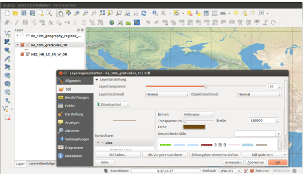
QGIS is a free and open-source geographic information system. Create and edit geospatial information on Windows and Mac using this device. You can visualize and analyze the information easily using this software. You can start using this software for your GIS tasks. Find training materials in this software to learn how to use it. You can support this software by donating some money and making your contribution.
2. gVSIG
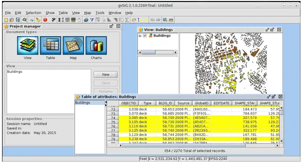
gVSIG is an open-source geographic information system that you can develop and use on the desktop. Work with geographic data of various formats using this software. Analyze and manage your geographic information using this system. This solution is easily extensible. You can download this software and use the quick access guide to start using it.
3. Grass GIS
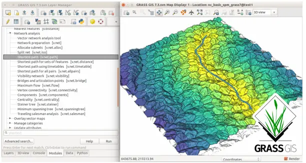
Grass GIS is a software that brings geospatial technologies to the world. This software is available for download in different versions like Grass GIS for Mac, Grass GIS for Windows, and many more. Download this software to get an open-source copy of it. This software helps to analyze geographic resources. You can use the manuals and tutorials available in this software to learn how to use it.
4. ILWIS
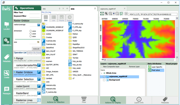
ILWIS is a remote sensing software that you can use for the geographic information system. This software integrates image and vector data. You can import and export data easily with the help of this softwre. You can digitize and edit your data using this software. Get this software at a low cost and enjoy many new functionalities. This software offers secure access to Geospatial Web Services.
5. Saga GIS
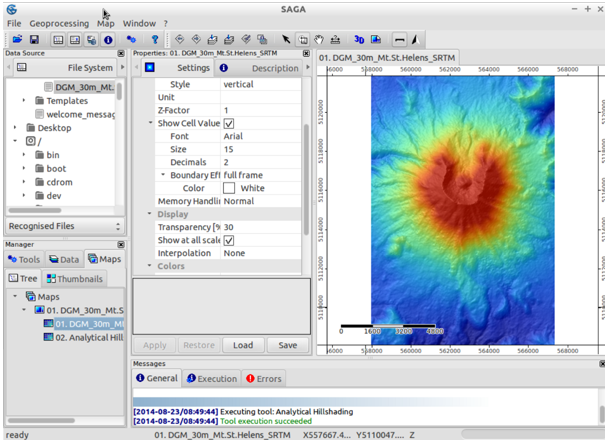
Saga is an abbreviation for System for Automated Geoscientific Analyses. This software is a geographic information system that effectively implements spatial algorithms. Saga is a learnable platform that helps to implement geoscientific methods. This software is coded in C++ language, and it has an object-oriented design. This system has a modular architecture, and the graphical user interface of this software allows users to visualize data easily.
6. GeoDa

GeoDa is a geographic information system that transforms data into insights. This software supports spatial analysis research. Analysts can view data of specific locations using this software. They can view areas with disease incidents or view buildings using this system. This software adds spatial statistical tests to map visualization. Thus, users can explore statistical patterns.
7. Whitebox GAT
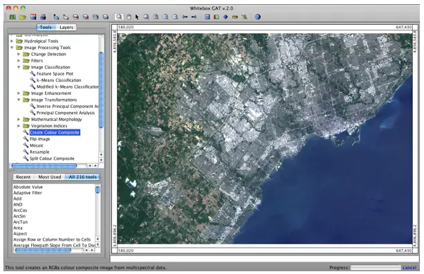
Whitebox GAT is an open-source geographic information system software. It is a remote sensing software too. It provides general information on geospatial analysis and helps to visualize data easily. This software aims to help in environmental research and the geomatics industry. You can modify the code to alter functionality in this software and can use the modified code as a plug-in tool.
8. MapWindow
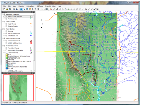
MapWindow is a geographic information system that is extendable in using plug-in architecture. You can visualize data using this software and manage data easily. You can edit and analyze data to compose printable maps using this software. The analytical functions of this software are powerful. You can integrate this software with MS-Office easily. The graphical user interface of this software is simply such that you can select and edit attributes quickly. View data in many vector formats using this software.
9. uDig
uDig is a desktop geographic information system. uDig is open-source software that helps to view and edit spatial data. This software runs on Windows, Mac, and Linux operating systems. This software contains a drag-and-drop feature that allows you to drop files into the web browser. You can work with local image files in this software. Printing and PDF generation is simple using this software.
10. OpenJump
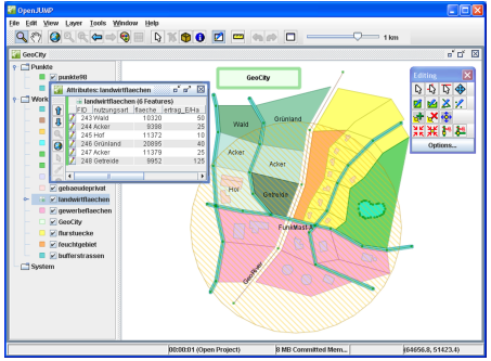
OpenJump is a GIS software written in Java programming language. This software helps to read and edit various files via plugins. You can read from many spatial databases using this software. You can use this software as a GIS data viewer. You can style the map display in this software to style the appearance of the data you are viewing. This software uses vector analysis tools for topological analysis.


")


")


